Thunderstorm warning in effect for Pahang, Sarawak and Sabah until 5pm彭亨州、砂拉越州和沙巴州雷暴警告持续至下午5点。
KUALA LUMPUR, Sept 28 — The Malaysian Meteorological Department (MetMalaysia) has issued a thunderstorm warning for parts of Pahang, Sarawak, and Sabah, with heavy rain, gusty...
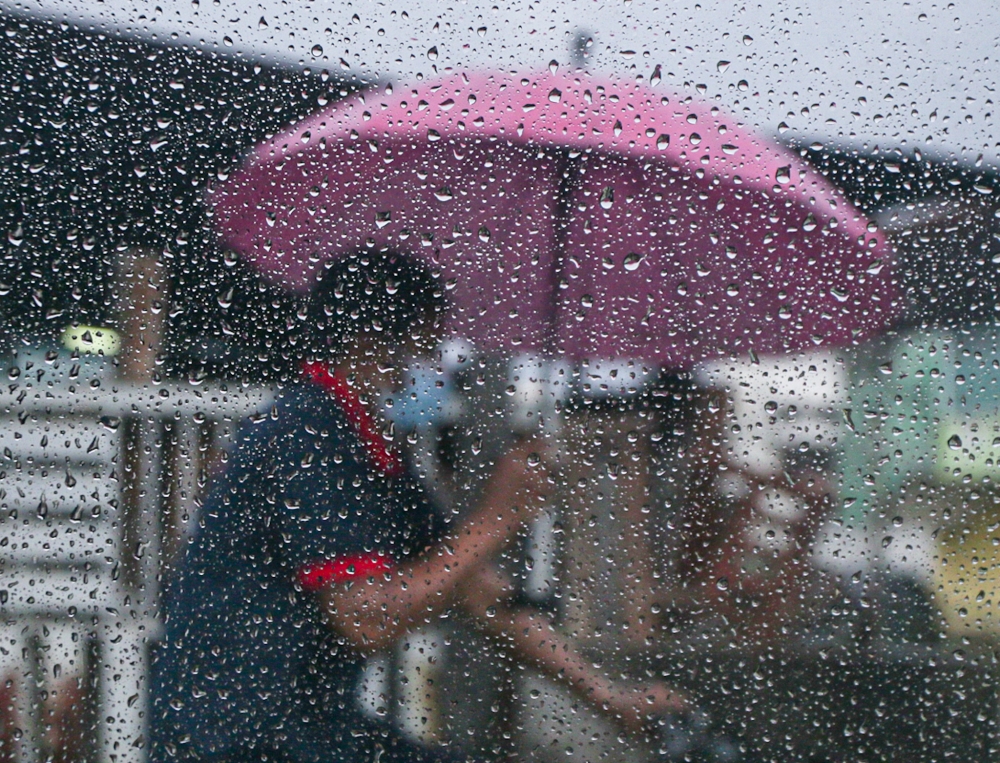
The Malaysian Meteorological Department has issued a thunderstorm warning for parts of Pahang, Sarawak, and Sabah, predicting heavy rain, gusty winds, and lightning.
This advisory, valid until 5 p.m., affects multiple districts, including Cameron Highlands, Raub, and Bentong in Pahang; Bintulu, Miri, and Limbang in Sarawak; and expansive areas in Sabah.
Residents are advised to exercise caution, prepare for possible flash floods, and avoid risky areas and activities during this weather event.
KUALA LUMPUR, Sept 28 — The Malaysian Meteorological Department (MetMalaysia) has issued a thunderstorm warning for parts of Pahang, Sarawak, and Sabah, with heavy rain, gusty winds, and lightning expected to persist until 5pm today.
In Peninsular Malaysia, adverse weather conditions are forecast across three districts in Pahang, namely Cameron Highlands, Raub, and Bentong.
In Sarawak, the alert covers the Bintulu division (Bintulu and Sebauh), Miri, and the Limbang division.
In Sabah, the warning covers a wider area, encompassing Tawau, the Sandakan division (Tongod, Telupid, Kinabatangan, and Sandakan), the Interior division (Sook, Keningau, Tambunan, Membakut, and Pensiangan), alongside the West Coast division and Kudat.
MetMalaysia explained that a thunderstorm warning is triggered when atmospheric indicators point to impending storms with rainfall intensity exceeding 20mm per hour, or when precipitation is expected to last for more than an hour.
These alerts serve as short-term advisories and remain valid for a maximum duration of six hours from the time of issuance.
Residents in the affected areas are advised to stay vigilant, avoid open fields, steer clear of large trees and unstable structures, and prepare for potential flash floods, especially in low-lying zones and near slopes. Motorists have been urged to exercise extra caution on the road due to reduced visibility and slippery surfaces during heavy downpours.
Mourners gather to pay last respects to Dr Hasmah at Seri Kembangan home
Rosmah faces Mareva injunction bid, 1MDB seeks to freeze US$346m luxury assets
Roti canai maker charged in Kota Tinggi court with murder of five‑year‑old niece at Tanjung Sedili river
马来西亚气象局已对彭亨州、砂拉越州和沙巴州部分地区发布雷暴警告,预计将出现强降雨、大风和闪电。
该公告有效期至下午 5 点,影响多个地区,包括彭亨州的金马仑高原、劳勿和文冬;砂拉越州的民都鲁、美里和林梦;以及沙巴州的大片地区。
建议居民在此次天气事件期间保持警惕,做好应对可能发生的突发洪水的准备,并避免前往危险区域和进行危险活动。
吉隆坡,9月28日讯——马来西亚气象局(MetMalaysia)已对彭亨州、砂拉越州和沙巴州部分地区发布雷暴警告,预计强降雨、大风和闪电天气将持续到今天下午5点。
预计马来西亚半岛彭亨州的三个地区,即金马仑高原、劳勿和文冬,将出现恶劣天气。
在砂拉越,警报覆盖民都鲁分区(民都鲁和士包)、美里和林梦分区。
在沙巴,警告覆盖范围更广,包括斗湖、山打根分区(Tongod、Telupid、Kinabatangan 和山打根)、内陆分区(Sook、根地咬、坦布南、Membakut 和 Pensiangan)以及西海岸分区和古达。
马来西亚气象局解释说,当大气指标显示即将出现降雨强度超过每小时 20 毫米的暴风雨,或者预计降水将持续超过一小时时,就会触发雷暴警告。
这些警报仅作为短期建议,自发布之时起最多有效六小时。
受影响地区的居民应保持警惕,避开开阔地带,远离大树和不稳定的建筑物,并做好应对突发洪水的准备,尤其是在地势低洼地区和坡地附近。由于暴雨期间能见度降低、路面湿滑,驾驶员应格外小心驾驶。
哀悼者聚集在史里肯邦安家中向哈斯玛博士致以最后的敬意
罗斯玛面临马雷瓦禁令诉讼,1MDB寻求冻结3.46亿美元奢侈品资产
印度煎饼制造商在哥打丁宜法庭被控在丹绒塞迪利河谋杀五岁侄女